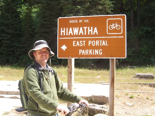
Our story begins in 1906 with a goal. The goal was to get the Chicago, Milwaukee & St. Paul railroad out toward the Pacific. The project cost an astounding $260 million dollars and thousands of workers, but…wait for it… THE GOAL WAS ACCOMPLISHED. The railroad was opened in 1911 and served for steam and then diesel trains right up until 1977. But alas, the company went bankrupt and the trains stopped chugging. (Awwww!) But don’t fret! There is a happy ending! This story actually begins when the trains stopped chugging.
An unknown amount of time ago, these crazy Idahoians (?) came up with a plan. A young man came running into the office of the Idaho Forest Service screaming about a trail that he had been on while vacationing in Washington DC. “It’s fantastic!” he screamed. He then went on to explain what he knew about the just blooming idea of taking old rail lines and making them into trails. “Rails to Trails is what they’re calling it. We can even CHARGE!” he said. And with that the Forest Service looked into it. “We’ll make millions!” they said with dollar signs in their eyes.
Wait. This story has gotten a bit off track (get it? train track! HA!). Okay, first of all, I made all that stuff up. I have no clue how this wonderful trail came to be. What I do know is the following:
15 miles of the rail line winding through the rugged Bitterroot Mountains in Idaho have been re-done and opened to the public for a fee. One end of the trail is in Montana and rumor has it that they will donate another 30 miles soon. While riding what is currently available, you really get a cool idea of what it would be like to ride that stretch on a train. Oh, and the entire trail is downhill! How can that be you ask? Is this an MC Escher trail??? No and I’ll tell you, but first I want to let you know that the entire operation is run by the local Lookout Pass Ski Area. So, you go there to get tickets, and if you don’t have bikes you rent them from here also. Now for the cost. First you must pay to use the path, the day use is $9 for an adult. And when you get to the bottom there is a shuttle that brings you and your bike almost all the way back to the beginning. That is an additional $9. The bike rental was about $30 each. So all in all this was not a cheap bike ride. But if you have bikes and want to bike back the 15 miles you just came down you can and save yourself all but the $9 day use fee. More power to ya!
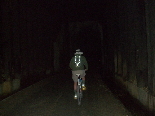
Let me tell you about the trail. It was very narrow and very cool. You go through 9 tunnels and go over 7 trestles. First things first, you mount your bike and start heading toward the first tunnel called Taft Tunnel. Taft tunnel is the longest one you go through by about a mile. The entire length is 1.7 miles. Let me put that to you another way –IT’S CRAZY LONG!! Long enough for light to be nonexistent, we’re talking pitch black. Long enough for you to get petrified about half way through that creepy troglodyte people were scaling down the walls to grab me and eat my spinal cord… I mean, not me. I wasn’t scared. But you could see how a person could be right? ;) Oh, and it’s also near freezing in there. By the time you exit the tunnel your hands are frozen to the handlebars and the snot that dripped from your nose will have formed icicles. Yeah, it’s that cold. Bring a jacket.
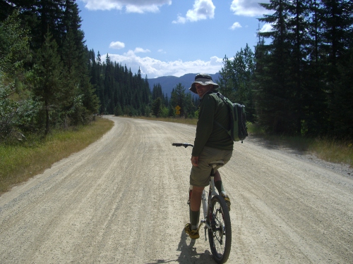
Anyways, after that first tunnel you continue to coast down…wait. Anther side-note: Most people can coast down. The trail is all downhill. I however don’t weigh enough to actually coast. Me and the other tiny humans (the ones that the cave people didn’t pick off) have to peddle down. Matt may have peddled his bike 50 times the entire 3 hours. I was pumping. Sometimes standing up to keep up with his coasting. There are some things that being bigger is better for: Sumo wrestling, ziplining, and downhill bike riding are some examples.
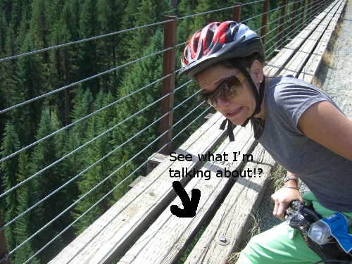
So you’re coasting down going through tunnels and over trestles (bridges) and the path is bumping a lot beneath you (bump bump bump) and the wind is whipping your face as the pine trees fly by. All the while you’re looking out over a lush vibrant forest with mountains and valleys and more trestles (bridges)… and then you stop. You find yourself on trestle #220. You are 230′ up in the air. You dismount your bike and walk it over to the edge. There are 3 beams that seperate you from gravity. You step on the first one to get a bit closer to the edge, but wait, between the beams you can see that there is NOTHING UNDER THE OUTTER 2 BEAMS! Just the ground that is TWO HUNDRED AND THIRTY FEET BELOW YOU! Using your best judgement you back away from the edge of certain doom and get back on your bike. Nothing to see here folks, keep it movin’!
After two to three hours, depending on your stops, you will find yourself pulling into Pearsons trailhead at the bottom. There is a welcoming sign that says “Congratulations! This is the end of the trail. You made it!” And made it we did. It was close there for a bit. We dodged troglodyte people, helped gravity get us down, dodged certain doom on the trestles, and finally we are down. Now all that’s left is the shuttle ride up to the top. The bus is very winding and feels like an eternity. If you are at all motion sick prone you should sit at the front of the bus and pop a Dramamine.
And just when you think it’s all over and you can head back to your 24′ RV home they hit you with the curveball! You have to ride back through the looooooong tunnel first to get back to your vehicle (home). Mounting up again, this time with about 20 of your new closest friends from the bus and you all start your way through the tunnel. Because of the numbers you’ll feel a lot less freaked out when you go through this time (assuming you were one of those girly men who freaked out in the first place. Pshhh, not me!) Just in case though, you may want to strike up a conversation with the fellow who has the brightest light, stay toward the middle of the pack, and ride like the wind, Bullseye!
But that’s not all, order now and we’ll throw in… Nope. That’s all. That is your experience. Live it. Enjoy it. Love it.
Can I get a HIAWATHA!! (fists clutching a tomahawk in the air!)
xoxo,
Bitchin’ Biker Breezy!
PS. Since I can’t stop screaming “HIAWATHA!” I decided to look it up. He was a Native American leader and peacemaker. Click here to read more about him. I found the bit on the belt to be most interesting!
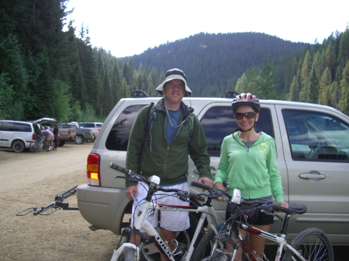
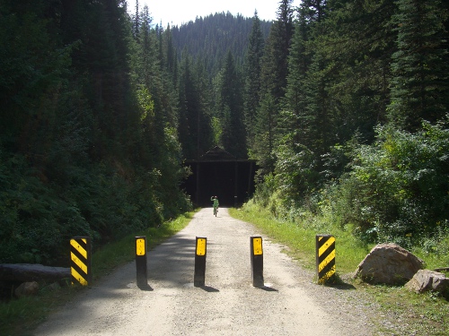
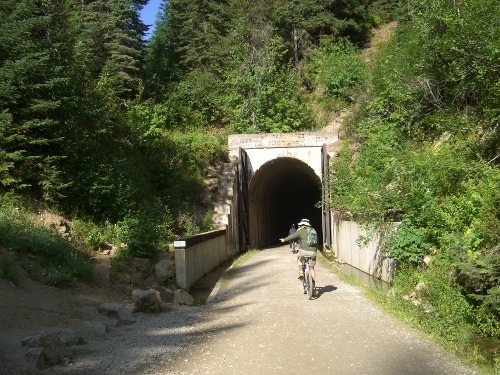

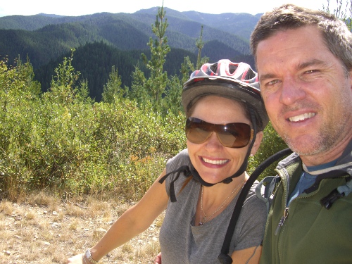
I did the trail twice now and just love it! Last time I was here was in 2010, post here:
http://lifeontheopenroad.blogspot.com/2010/08/hiawatha-bike-trail.html
Hi Diana! It looks like we got some of the same photos. :) I especially loved the picture that you took of the view down.
What a great trail!! I was happy to Tally Ho as fast as possible through that first tunnel. The views were amazing (as we showed in our pictures.) :)
Looks and sounds like a great bike trail! Reminds me of another trail made from an old railroad bed (the Soo Line Railroad) that goes right through the towns I grew up in, back in Minnesota. It’s called the Gandy Dancer Trail now. We used to walk the tracks a lot back then, even though the trains were still using them. The trail is about 85 miles long, though not nearly as spectacular as the trail you guys took.
Hello from the road! The trail was really amazing. It was very pretty and pretty cool to go through the tunnels and over the trestles. We will have to ride part of the Gandy Dancer (hold me closer Gandy Dancer) when we get to your hometown. I think Minnesota will be in the cards for 2012.
Love and miss you both!
That bike ride sounds so cool with all the tunnels and few bike pedals. Thanks for sharing.
It was a lot of fun. I think if we ever do it again though I’ll bring some weights. :)